Photograph Archive
Views from High Places
Aerial Views

|
|
Wolfeboro Historical Society Digital Archive Photograph Archive Views from High Places Aerial Views |
|
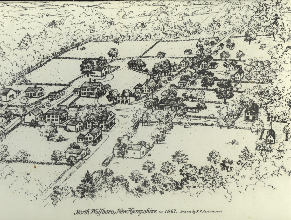
Aerial sketch of North Wolfeboro, drawn by R. F. Jackson, 1936. In the center is Dimon's Corner, looking north. The roads depicted are: north-Trask Mt. road; east-Stoneham Rd.; south-Haines Hill Rd.; and west-North Wolfeboro Rd. This area was a self-sufficient community with farms, stores, church and school. The one-room school is the farthest building on the right (with a flag).
(5/6)